
Since
coming to Arctic Bay in February, there has been one natural landmark that has had
my attention for the entire time: King George V Mountain (KGVM). With an elevation of 492 metres (1,620 feet),
you could say it is the centrepiece of the Greater Arctic Bay Area. It's impossible to miss. Looking from Arctic Bay, the mountain has two
distinct features: rocky slopes that range from gradual to steep, and a crown
of jagged rocks at the top. While I was
participating in the spring camp, the view of KGVM from the rear was the
complete opposite. The mountain is
connected to other hills similar in height, and the ascent is very gradual,
leading to a plateau summit. I had
wanted to hike up KGVM for a long time but was sidetracked by teaching and
other priorities. With the arrival of
the Victoria Day weekend, I finally had the chance to conquer the summit.
 |
| Power Plant |
On
the morning of Sunday, May 19, I left my residence at 10am and began walking
towards KGVM. I left my heavy Canada Goose parka behind and wore my lighter skiing parka instead. I trudged along the mud covered roads in my
heavy winter boots while carrying my black backpack. The bag contained: a face mask, ski goggles, a
second pair of gloves, two green apples, and a 'celebratory' chocolate bar for reaching the summit. While walking
through the quiet town of Arctic Bay, I figured the entire excursion would take
me about six hours. My estimate was far
from the truth.
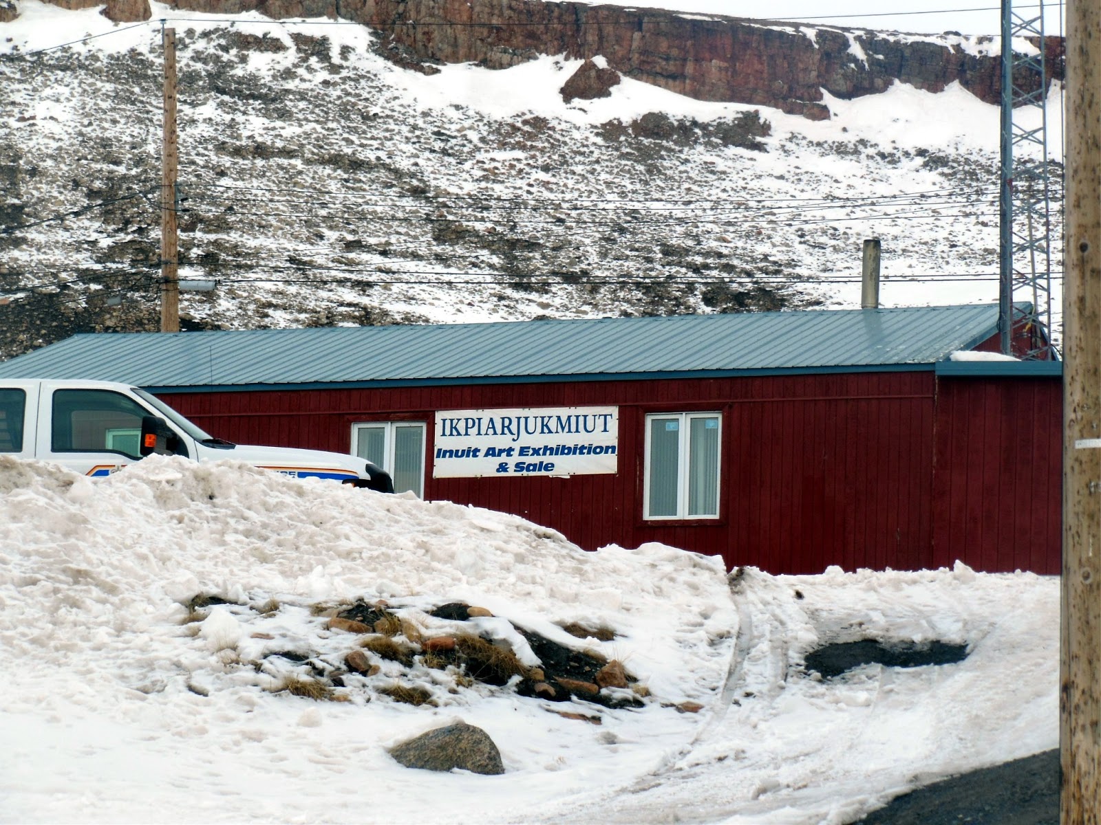 |
| Heritage Centre |
As
for snow, much of it had disappeared from the main roads and several
mountaintops, revealing mud, discarded garbage, and rocks. As always, the bay and main waterways
connecting to the Northwest Passage were still frozen solid with thick ice and
snow. Cracks would not appear until
early June.
 |
| Road to Nanisivik |

After
passing the town's power plant and heritage centre, I continued on the road to
Nanisivik. This road also runs through
the gas station and by the airport.
Beyond the gas station, a separate road branches off, leading to the
town's garbage dump and Sewage Lagoon.
This was my first time travelling the road to Nanisivik during the
day. The gas station area is where one
can find warehouses, industrial equipment, snowplows, utility vehicles, and of
course, the town's five large gas tanks.
Residents who require fuel for their vehicles must pay first at the
Tangmaarvik Inn before filling up.
 |
| Gas Tanks. |

I
stopped walking several metres after passing through the gas station area and
faced KGVM, like two cowboys about to have a high-noon gun duel. It's
just you and me, I said to myself before moving onward. I followed the main road before turning left towards
the dump. The dump is the final resting
place for everything discarded by locals, including vehicles, sewage tanks, and
water tanks. Garbage collected from
households and businesses are placed in a separate large pile, where it is
picked and dissected by loud seagulls.
The garbage odour wasn't that bad.
I have been told that the garbage is burned but I'm not sure if that's a
regular occurrence.

 |
| Climbing KGVM - First part of the ascent is marked in red. |
I
moved away from the dump and walked towards the first hill I would have to
climb. From here, KGVM looks much bigger
and more imposing. The trek up the hill
was easy due to the many rocks I could hold onto. When I got to the top, I decided to eat one
of my apples. Anticipating strong winds
and colder weather, I put on my face mask and ski goggles after consuming the
apple. Taking a deep breath, I proceeded
up the second hill that connected to KGVM.
I came across some strange rock formations on my ascent but I didn't
encounter any big problems.


Upon
reaching the top of the second hill, the land smoothed into a gradual
arch. I took a minute to rest my legs,
which were burning by this time, and to photograph the views behind me. I could already see all of Arctic Bay, the
dump, Sewage Lagoon, and even Victor Bay.
My imagination conjured up images of the possible views that awaited me
at the summit. Looking at the relatively
flat top of the second hill, I also imagined it being possible to host a winter
or summer camp, but the rocks would have to be cleared before any tents could
be pitched.
 |
| Climbing KGVM - Second part of the ascent is marked in red. |

I
spotted an inukshuk at the other end of the second hill. I proceeded towards it and photographed it
from several angles. Beyond the inukshuk
lay the steep rocky slopes of KGVM. I
took several minutes to look at possible approaches to the summit. I had to play it safe because I wasn't
carrying any professional climbing equipment.
I decided to proceed up the rocky face that was slightly off centre,
leading me to a small opening between two tall and jagged rocks at the very
top. After eating my second and last
apple, I continued on my trek.
The
level of difficulty increased relatively quickly because I had to cross an area
of smooth slippery snow. With no rocks
to hold onto, I had to search for exposed patches of foliage and hop between
them. From what I can remember, I think
I slipped and fell once before making it to the rockier patches. The higher I climbed, the more I wondered if
anyone back in Arctic Bay was watching me?
By this time it was just after lunch and I could hear the sounds of
skidoos, and vehicles in the distance.
Looking back, I also watched sewage trucks driving to the lagoon, dumping
the waste they had collected from households.

I
began to encounter some of the same difficulties when I scaled the nameless
mountain (aka 'Mount Adrian') during the spring camp: loose rocks. This forced me to check every rock before
grabbing, stepping, and/or moving it.
This slowed my ascent considerably but it was better this way; I was
alone and couldn't risk getting injured.


There
were three very large boulders along the final part of the climbing path. I was glad they were there
because they acted as my rest points.
The overcast above me was beginning to clear and by the time I reached
the second large rock, there was a clear blue sky. I stopped to catch my breath and to enjoy the
view of the Arctic sun shining down on the Greater Arctic Bay Area. Looking at my watch, I figured that I could
reach the summit by 2:15pm. With the small
opening in sight, I lumbered up even higher . . . only to hit an invisible wall
just past the last large rock.
 |
| So close yet so far. |
Here,
there were only two small patches of rocks and most of them were loose. Beyond that was just a smooth slope of snow
that looked solid but slippery. I tried
to get closer but I couldn't get a solid footing on the exposed rocks. Lacking ice axes for my hands and claws for
my boots, there was no way I could scale the last remaining metres to the
summit. Feeling disappointed but not
defeated, I decided to look for another way up by moving to the left of the
mountain. I chose this direction because
there were a lot of exposed rocks to hold onto.

Getting
over to the exposed rocks proved to be another challenge because I had to climb
down and move across slippery slopes.
The snow up here was still frozen solid; breaking it to get a good footing would be tough. This forced
me to sit down and kick at the snow with my boots. I would then move from one sitting position
to another. Unfortunately, I wasn't wearing
any snow pants because I didn't want the added weight and sweat. I would have to make due with a cold and wet
bottom. I repeated this process until I
reached the rocks.
It
took me about two hours to go as far left as I could. Despite slipping and sliding a few times, I
was surprised that I wasn't afraid of the high altitude. Looks like tandem skydiving and completing
the CN Tower Edgewalk worked in subsiding my acrophobia. All the other direct paths I surveyed presented
the same problem: they were too risky to climb without the proper
equipment. When I came to this
conclusion, I could have sworn I heard King George laughing at me. It was already past 4pm (6+ hours of hiking)
and I had yet to reach the summit.
Feeling dejected, I decided to call it quits. "I'll be back," I said out loud,
putting the mountain on notice.

I
found a nearby snowy slope that looked perfect for skiing. I crouched and slid down it using my
boots. The short ride was fast and
fun. Halfway down, I moved off to my right,
and walked over to a rock covered hill.
Setting down my backpack, I retrieved my celebratory chocolate bar and
opened it. Well, I guess I could celebrate almost making it to the top.
While
munching on the bar, I gazed at the majestic scenery around me. I'm not sure if it was the chocolate or just
the sugar inside, but my brain suddenly began computing a lot faster. In a few seconds it pointed my head towards
something my eyes had glazed over. My
eyes lit up at the discovery.
"Oh,
I'm not done! Not even close!"

To be continued . . .
No comments:
Post a Comment